In an age where every drop of water counts and each seed is a promise, agriculture is undergoing a profound transformation. “Smart farming” is no longer a futuristic concept—it is the present reality unfolding across rice paddies and cornfields alike. At the heart of this transformation are UAVs (Unmanned Aerial Vehicles), discreet yet powerful allies silently navigating the skies to empower farmers with vision, precision, and data-driven control.
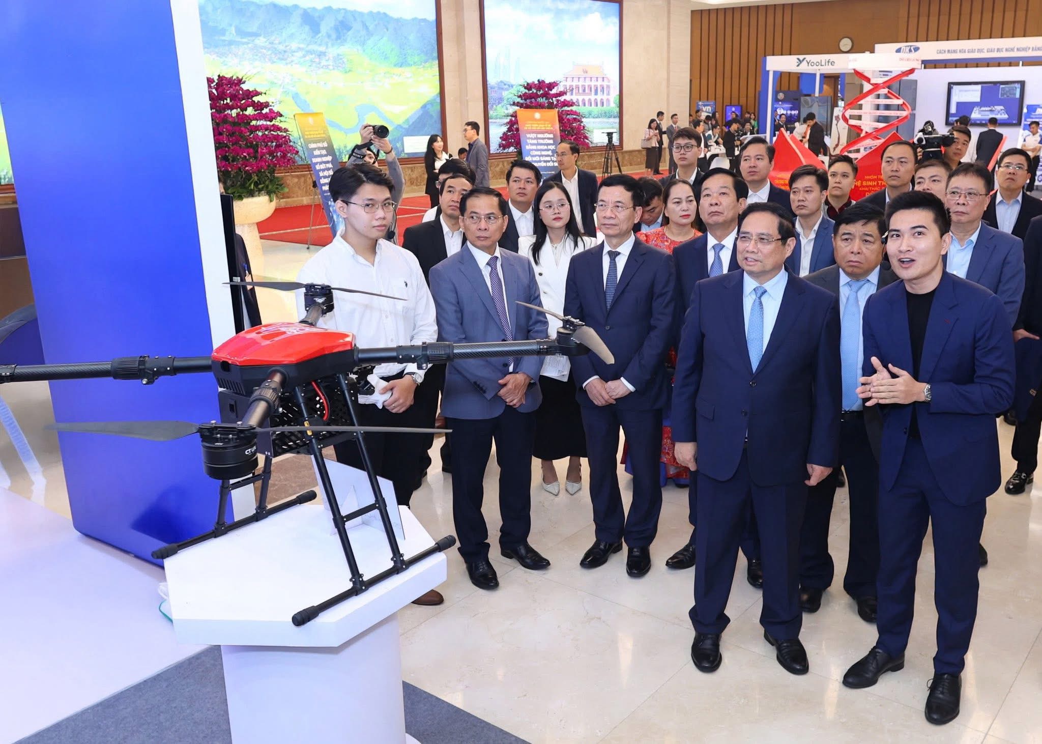
 A visualization of the use of UAVs in smart agriculture.
A visualization of the use of UAVs in smart agriculture.
AGRICULTURE REIMAGINED: BEYOND TOOLS OF THE PAST
Gone are the days when farming was solely the domain of hoes and plows. Today’s agriculture is guided by knowledge, not just labor. Concepts such as precision agriculture and data-driven farming emphasize the strategic optimization of inputs—water, fertilizers, pesticides—while maximizing yield and sustainability. At the core of these innovations lies a simple principle: observe deeply, analyze wisely, act precisely. UAVs are the eyes, ears, and extended hands of this principle in action.UAVs – THE FARMER’S EYES IN THE SKY
Modern UAVs are far more than flying cameras. They are mobile sensing platforms, equipped with advanced payloads capable of:- Assessing crop vitality and identifying early signs of stress
- Detecting water shortages and mapping irrigation needs
- Predicting pest infestations and nutrient deficiencies
- Generating high-resolution topographic and drainage maps
- Estimating biomass and forecasting potential yield
SEEING BEYOND THE VISIBLE: ADVANCED IMAGING TECHNOLOGIES
- RGB Imaging: Captures clear, full-color imagery for basic monitoring and orthomosaic mapping
- Multispectral & Hyperspectral Sensors: Reveal invisible stress factors by detecting near-infrared and non-visible light bands
- Thermal Cameras: Monitor temperature variations to guide precision irrigation and drought management
- LiDAR (Light Detection and Ranging): Creates detailed 3D terrain models, calculates canopy height, density, and biomass accumulation
UAVs VS. SATELLITES: PRECISION AT A HUMAN SCALE
Compared to satellite imagery, UAVs offer unrivaled tactical advantages:- On-demand deployment, unaffected by cloud cover or satellite schedules
- Ultra-high-resolution data from low-altitude flights
- Fully programmable, repetitive missions with spatial and temporal precision
- Cost-effective for farms of all sizes, from smallholdings to large estates
WHEN CROPS SPEAK THROUGH DATA
Images captured by UAVs are transformed into actionable intelligence through indices and algorithms:- NDVI (Normalized Difference Vegetation Index): A proxy for photosynthetic performance and plant health
- AGB (Above-Ground Biomass): Used to estimate plant matter and predict yield
- VARI (Visible Atmospherically Resistant Index): Analyzes greenness from RGB data
- LAI (Leaf Area Index) & TGI (Triangular Greenness Index): Assess canopy structure and vegetative vigor
A CONNECTED AGRICULTURE ECOSYSTEM
UAVs are not standalone tools. When integrated with:- Artificial Intelligence (AI) and Machine Learning
- Internet of Things (IoT): soil, weather, and moisture sensors
- Automated irrigation and nutrient systems